

The Earth, Livestreamed
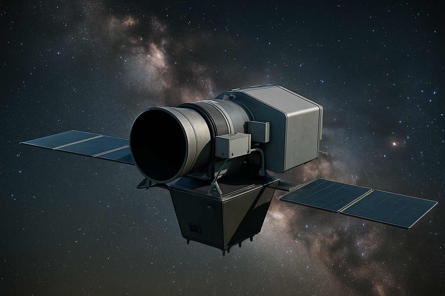
Always on sensing for an always-on world.
It's not a static satellite image; it's a live data stream for an always-changing planet. Rather than delivering occasional snapshots, Orbital Sentry will provide continuous intelligence that flows into decision systems in realtime— transforming Earth observation from a periodic reporting function into an operational data infrastructure that matches the pace of planetary change.
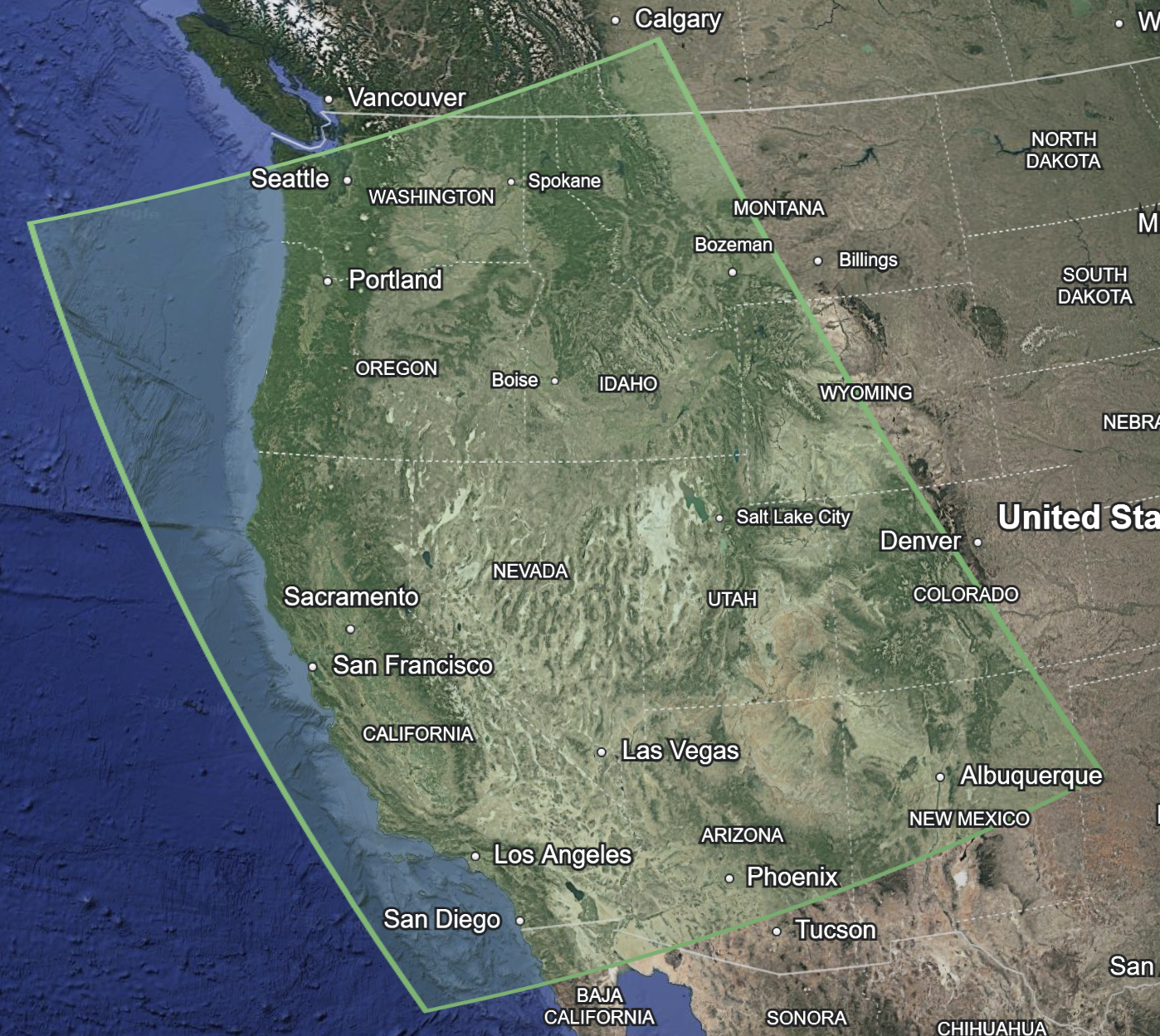
Fire Sentry
Our first commercial feed focuses on real-time wildfire detection and tracking across the Western United States, leveraging infrared sensing. Fire Sentry will identify ignitions within seconds of inception, track fire perimeters as they evolve, and enable the prediction of expansion trajectories in near realtime.
This capability addresses an immediate, crucial need where timing determines outcomes. But Fire Sentry is just the beginning, proof that persistent GEO imaging can transform a critical vertical.
Contact Us
Interested in working together? Fill out some info and we will be in touch shortly.