
Persistent Data for Cat Models
“Catastrophe modeling has spent the last 20 years getting more precise about where a catastrophe happened and what was affected. Parcel-level geocoding, building-level vulnerability, more accurate secondary modifiers and high-resolution terrain data are examples of this focus. Yet almost no progress has been about when events occurred during the catastrophe. Data resolution is no longer the binding constraint on understanding risk, cadence is.”
Orbital Sentry Closes Pre-Seed Round Led by Ridgeline
Orbital Sentry Closes Pre-Seed Round Led by Ridgeline
What’s the Deal with GEO Anyway?
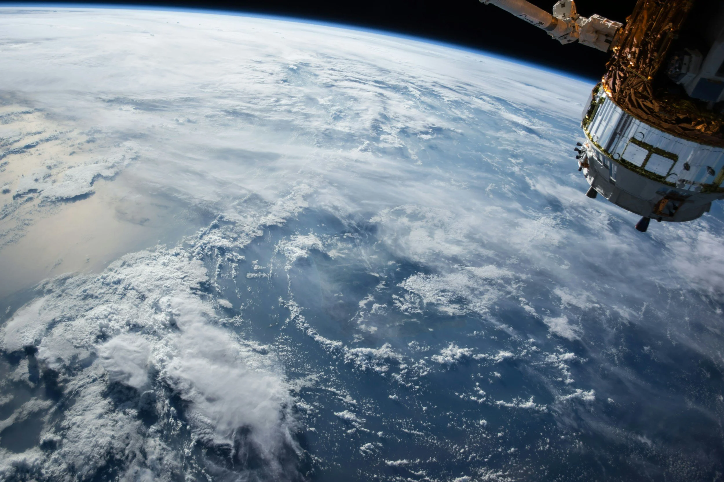
Geosynchronous orbit plays a different role. From a fixed position over the Earth, a GEO satellite continuously observes the same region. You trade some spatial resolution (physics is physics) but in return you gain something LEO can’t synthesize through constellations or tasking: persistence. This is why we call it Livestreaming the Earth.

Why Orbital Sentry?
Why would we start Orbital Sentry? Why now? In these tumultuous times where AI is upheaving the job market and earth observation is struggling to grow as hoped, why would we take such a risk in quitting our jobs and starting a company? I’ll give you three reasons why this was the right call…