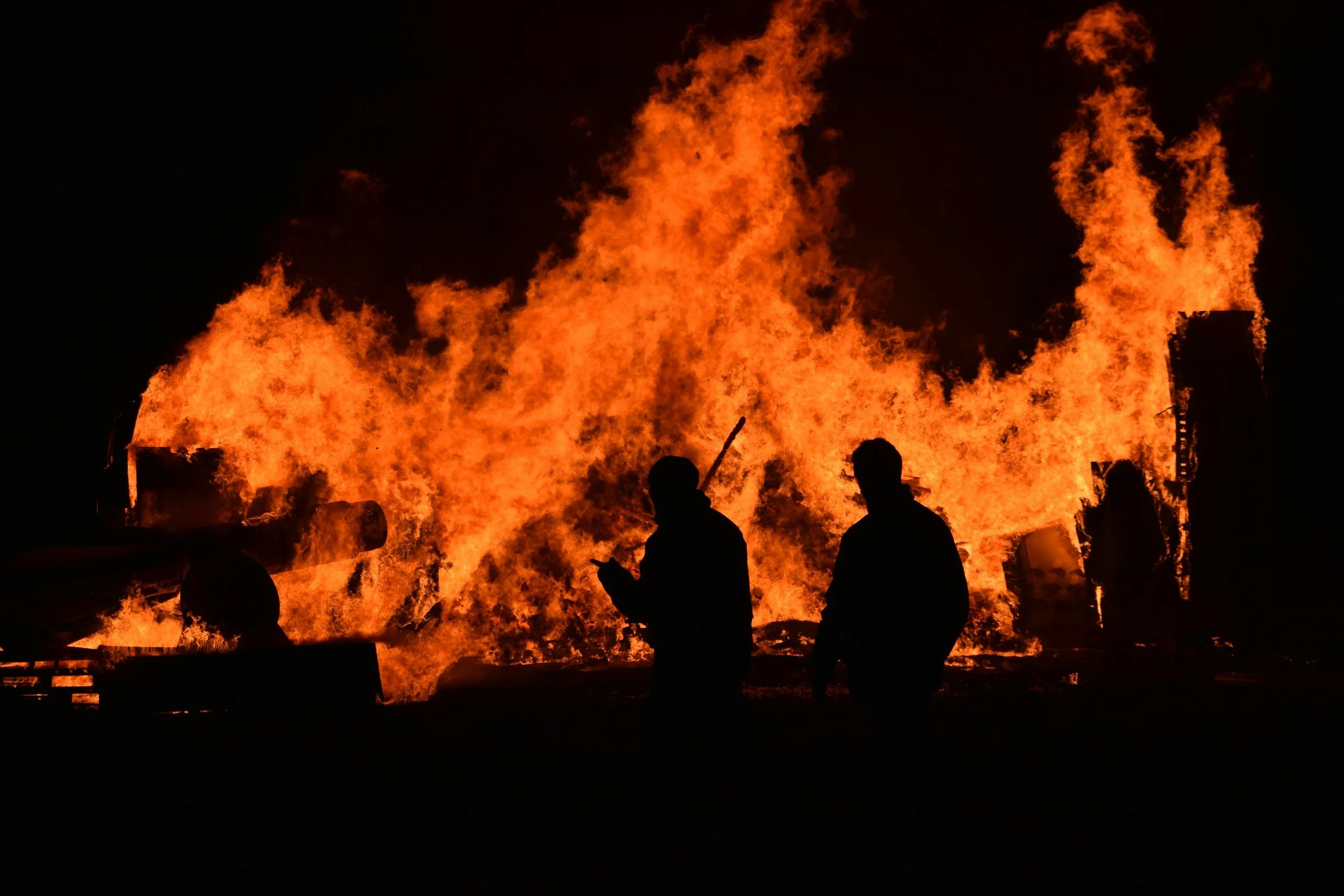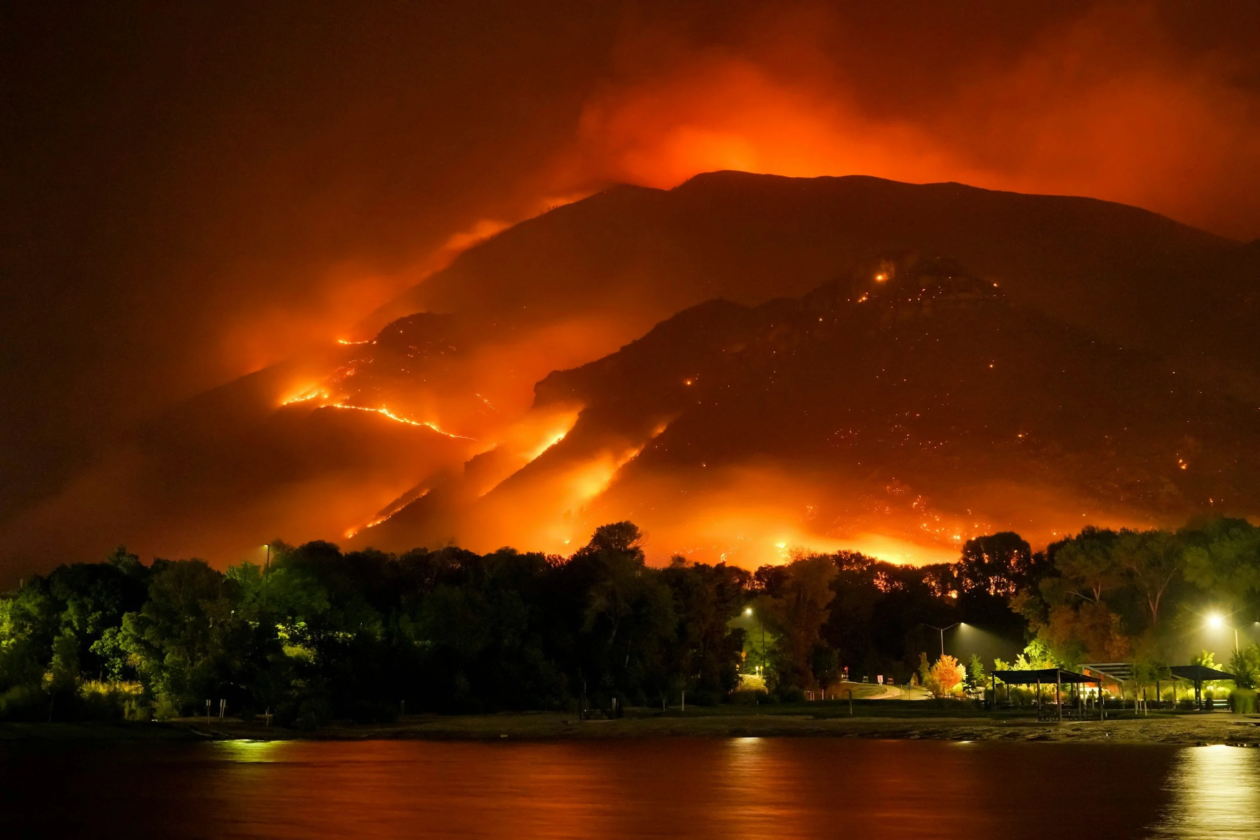
Wildfire, Defense, and More
Persistent geostationary imaging will power the next era of planetary awareness.

In the 1960s, visionaries recognized that placing satellites in geostationary orbit would enable continuous communications coverage — transforming how humanity connects across continents. Those satellites became foundational infrastructure, so essential to modern life that we rarely consider their existence.
Today, we stand at a similar inflection point for Earth observation. The technology exists to provide continuous visual awareness of our planet's surface. What's missing is the commercial infrastructure to deliver that awareness at scale.
Orbital Sentry is building that layer: a commercial, continuous, and connected view of Earth that organizations can integrate into their operations as easily as they use GPS or weather data today.
Fire Sentry is our first mission because wildfire is where persistent data delivers overwhelming ROI fastest. It’s a $100B problem with customers actively seeking better tools now, allowing us to commercialize the platform quickly while demonstrating the broader power of continuous sensing from GEO.
What Can Persistent Monitoring Power?
-
Minute by minute infrared monitoring allows for rapid identification, triage, and continuous monitoring of wildfires, unlocking a powerful new tool for first responders.
-
From data centers to factory heat output, persistent thermal signature monitoring will unlock previously challenging insights around CO2 outputs, usage, and more.
-
A wide area optical sensor will provide always-on smoke monitoring, allowing users to ‘playback’ where smoke was during an event.
-
OPIR has been a mainstay of ballistic missile warning and defense for the US since the 1960s. Orbital Sentry will revolutionize this capability and dramatically increase access for Defense, Intelligence, and commercial customers.
-
The ability to playback an event, not just lookback at claims or other physical impacts, will allow for previously impossible model validation and improvements.
-
Seeing events unfold in real time will allow users to see the effectiveness of mitigation efforts.
Industries We Serve
-
![Image of an insurance policy and money]()
Insurance
-
![Image of a person fixing an electricity wire]()
Utilities
-
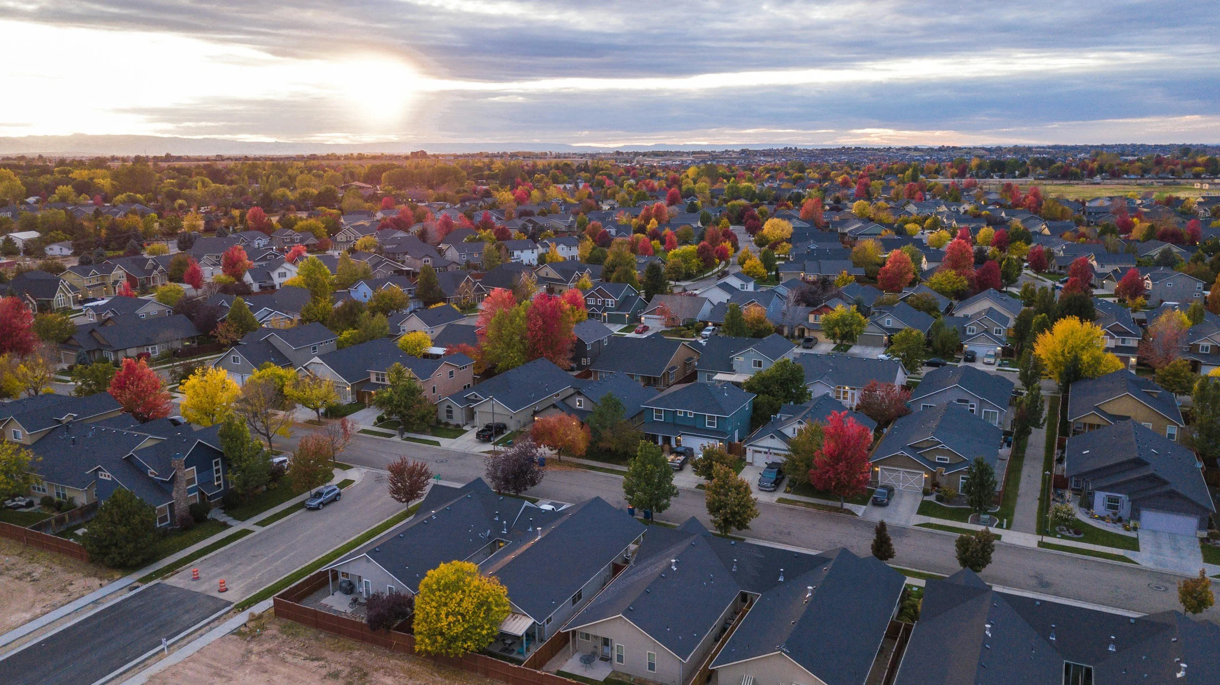
![image of a neighborhood]()
Wildfire Exposed Communities
-
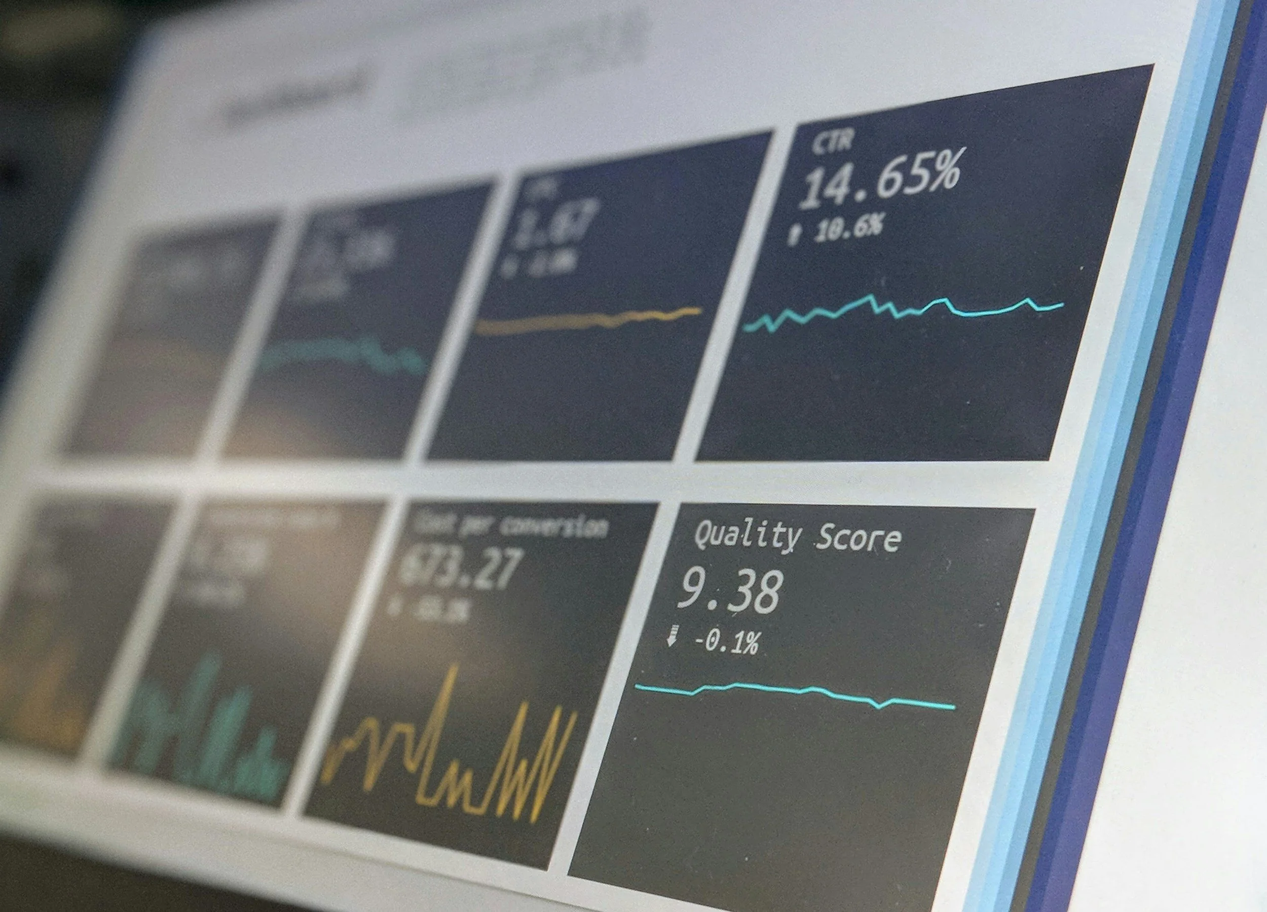
![image of charts and graphs]()
Data and Analytics
-
![Image of airplanes flying in formation]()
Defense and Intelligence


Endorsements
“Orbital Sentry will provide a needed capability and potential investors should know the data would be of highest value when available.”
John Mills, CEO Watch Duty“Data from Orbital Sentry's Fire Sentry system, which will offer persistent, continuous, geostationary infrared monitoring of the western United States, could give us critical early detection and real-time tracking of fire conditions, improving our ability to contain fires before they become catastrophes. Missing from the current wildfire monitoring ecosystem is true low-latency, 24/7 monitoring to more effectively leverage symbiotic tip-and-cue capabilities and fully harness the value of a suite of solutions.
Dan Munsey, Fire Chief, San Bernardino County“The promise of Orbital Sentry lies not only in its ability to detect and monitor wildfires in near-real time, but in the unprecedented temporal depth and spatial consistency of its data stream. By continuously observing the same geography at high cadence, Orbital Sentry creates a living, persistent dataset that is ideally suited as the training backbone for foundation models and GeoAI. Orbital Sentry’s capability fundamentally shifts how we can build, validate, and deploy artificial intelligence across environmental monitoring, risk management, and climate resilience.”
David Saah, PhD, Managing Principal, Spatial Informatics Group